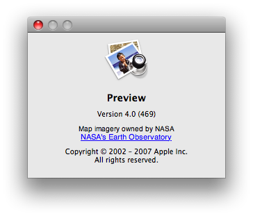
I’m sure this has been mentioned elsewhere, but I was a bit curious as to why the Leopard version of Preview (version 4.0) has an about box containing a link to a NASA webpage:
All is revealed when you open a photo that contains geographical tags (longitude and latitude) in the Exif data. Such tags can be added using a program like Geotagger (requires Google Earth) or may be added automatically by the very few available cameras with built-in GPS.
So here’s what it looks like when such tags are in place (the image, incidentally, is of my alma mater, Trinity College, Cambridge):

(click to enlarge)
Conveniently, pressing the Locate button at the bottom of the Inspector window opens the location in Google maps.
The map image itself is actually stored deep within the System folder, specifically in the ImageKit framework resource folder: /System/Library/Frameworks/Quartz.framework/Versions/A/
Frameworks/ImageKit.framework/Versions/A/Resources.
This isn’t that interesting in and of itself, but there are in fact 12 map images (each 600 x 300 pixels) in that folder, each portraying the earth with differing amounts of snow coverage! Are these maps used anywhere else in Leopard? The Time & Date preferences panel has yet another map of the world in the TimeZone.prefPane bundle, so they’re not used there…